Barbados Map Pictures, Images and Stock Photos
Browse 1,500+ barbados map stock photos and images available, or start a new search to explore more stock photos and images.
Most popular
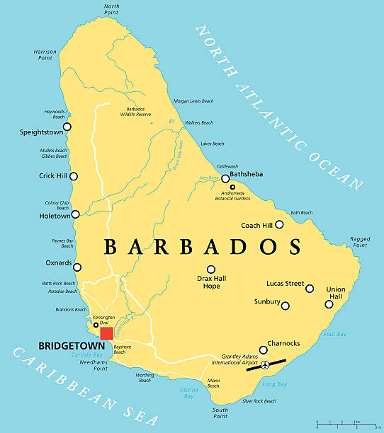
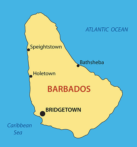
Barbados Political Map with capital Bridgetown, with important cities, places and rivers. English labeling and scaling. Illustration.
vector illustration of Barbados map

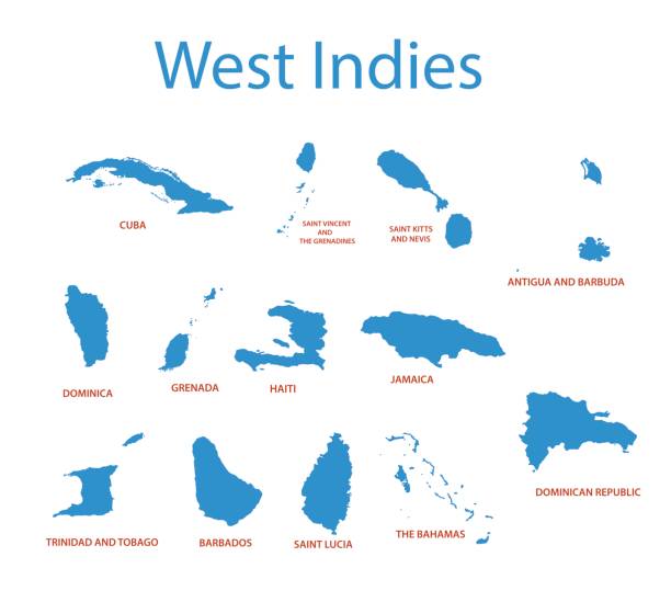
Lesser Antilles political map. The Caribbees with Haiti, the Dominican Republic and Puerto Rico in the Caribbean Sea. With capitals and national borders. English labeling. Illustration. Vector.
High detailed Map of Central America with national borders, countries and navigational icons
Map of Barbados isolated on white background. Includes 9 buttons with a flat design style for your design, in different colors (red, orange, yellow, green, blue, purple, gray, black, white, line art), each icon is separated on its own layer. Vector Illustration (EPS10, well layered and grouped). Easy to edit, manipulate, resize or colorize. Please do not hesitate to contact me if you have any questions, or need to customise the illustration. http://www.istockphoto.com/portfolio/bgblue
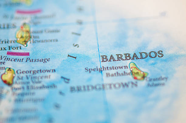
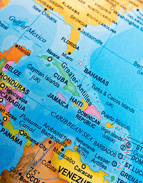
Barbados on a map - macroshot.
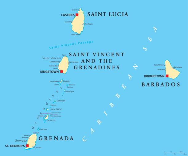
Barbados, Grenada, Saint Lucia, Saint Vincent and the Grenadines political map. Island countries in the Caribbean, part of Lesser Antilles and Windward Islands. Illustration. English labeling. Vector.
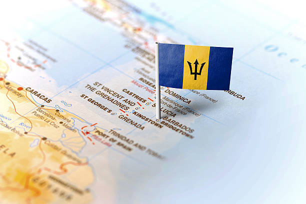
The flag of Barbados pinned on the map. Horizontal orientation. Macro photography.
https://maps.lib.utexas.edu/maps/americas/barbados.gif
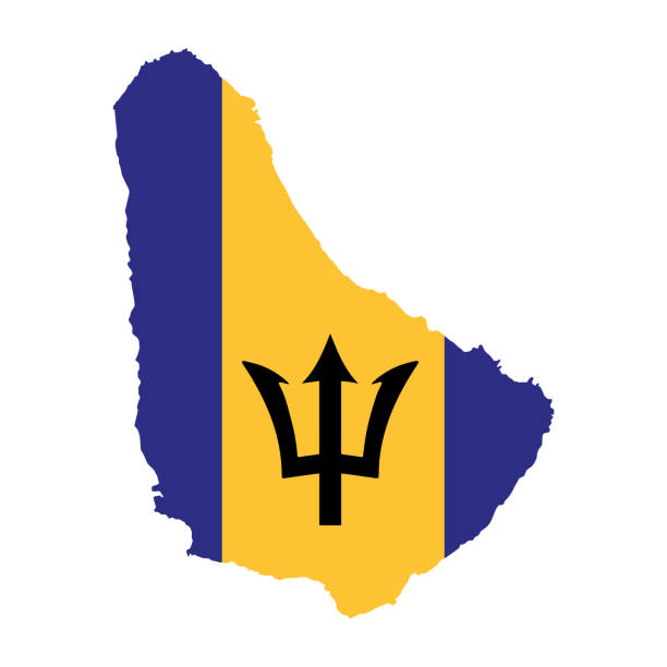
barbados road vector map with flag.
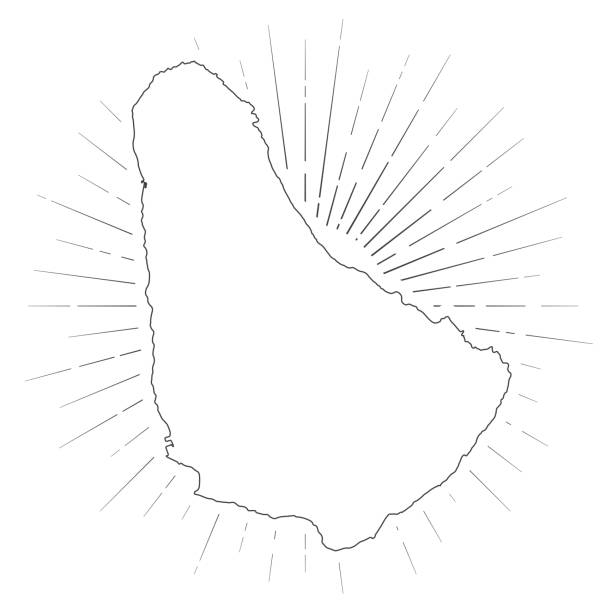
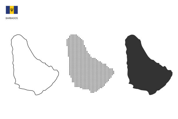
Map of Barbados created with a thin black outline and light rays. Trendy and modern illustraion isolated on a blank background. Vector Illustration (EPS10, well layered and grouped). Easy to edit, manipulate, resize or colorize.
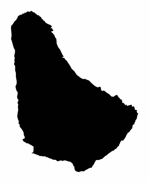
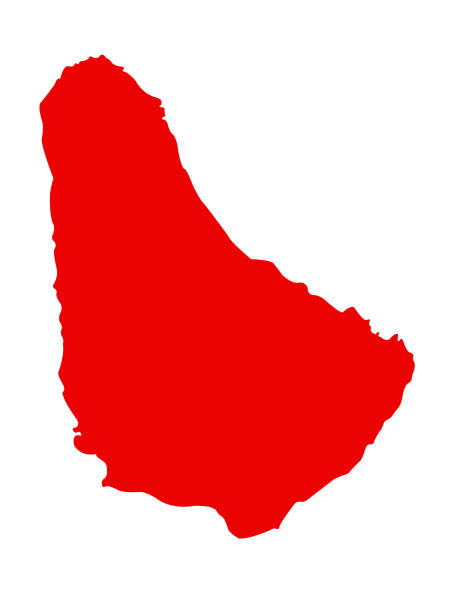
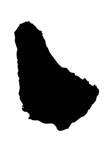
The Barbados dark silhouette map isolated on white background
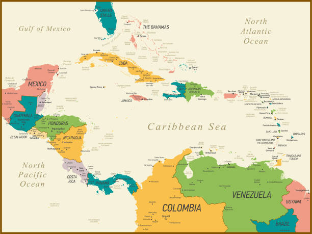
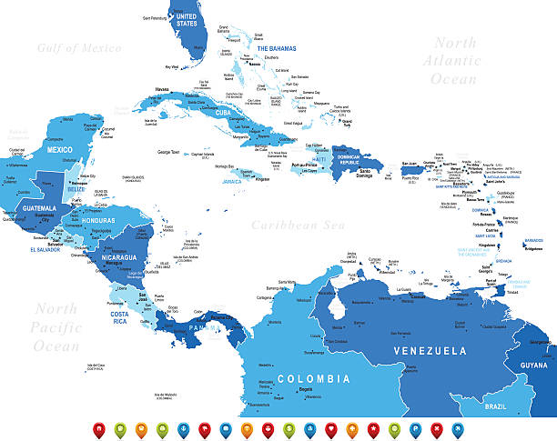
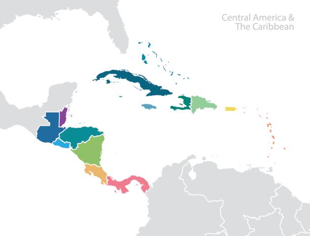
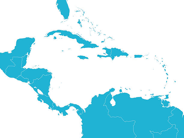
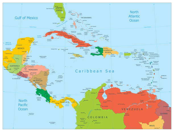
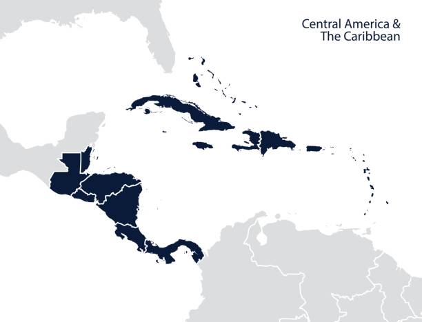
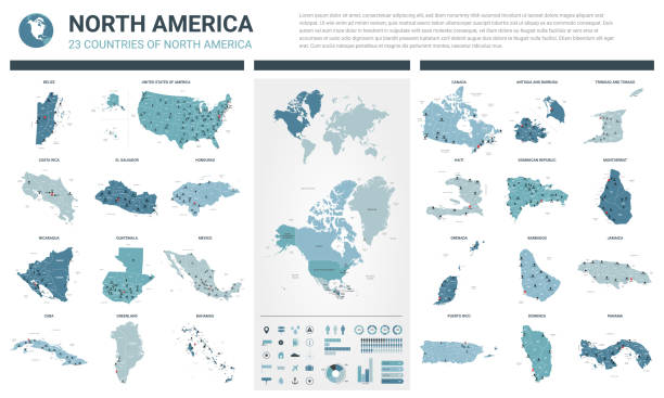
Central America and The Caribbean Map with Geographical Borders
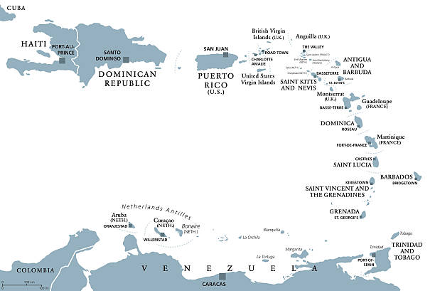
Lesser Antilles political map. Caribbees with Haiti, Dominican Republic and Puerto Rico in the Caribbean Sea. Gray illustration with English labeling on white background. Vector.Illustration. Vector.
Vintage 1800's map with Carribean sea and Atlantic ocean and more.
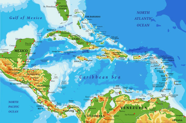
Highly detailed physical map of Central America and Caribbean Islands,in vector format,with all the relief forms,regions and big cities.
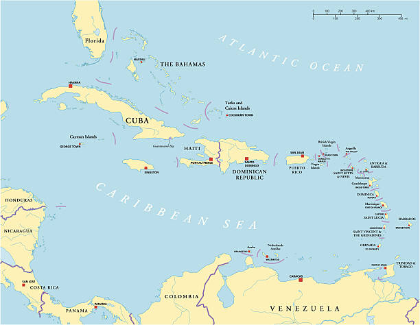
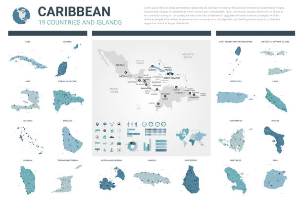
Political map of Caribbean - Large And Lesser Antilles - with capitals, national borders, most important cities, rivers and lakes. Vector illustration with English labeling and scaling.
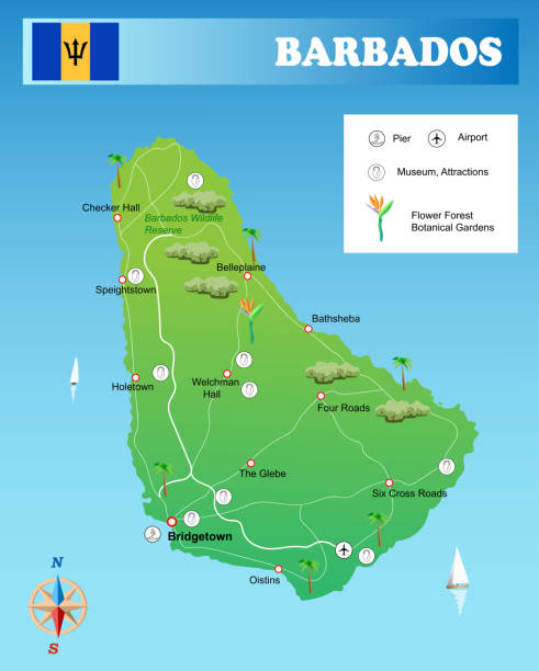
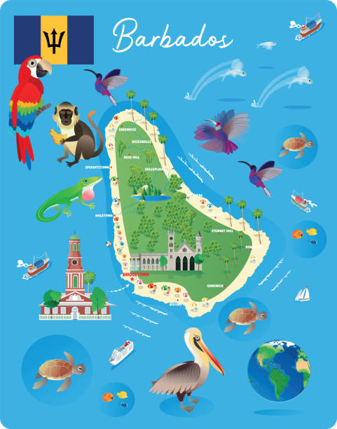
Illustration Barbados Island map
vector illustration of Barbados map
Central America and the Caribbean map. Vector
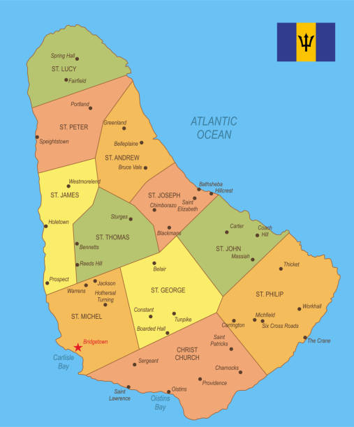
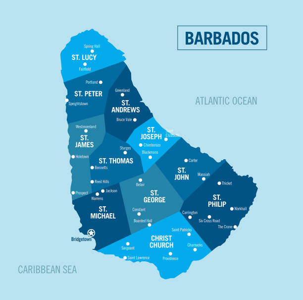
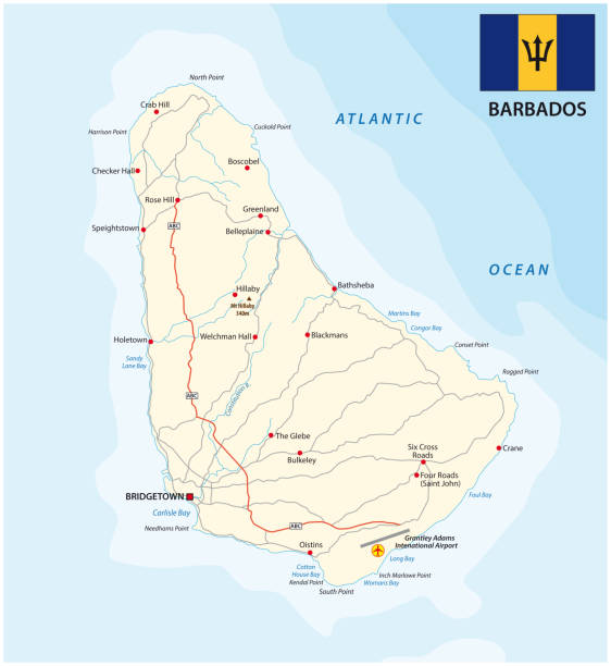
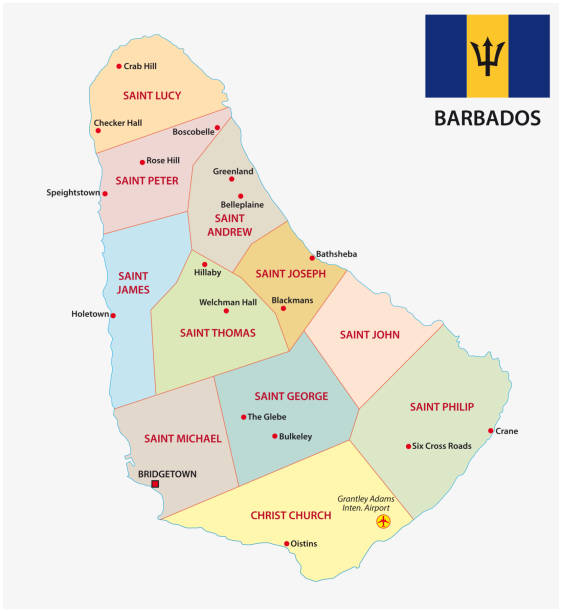
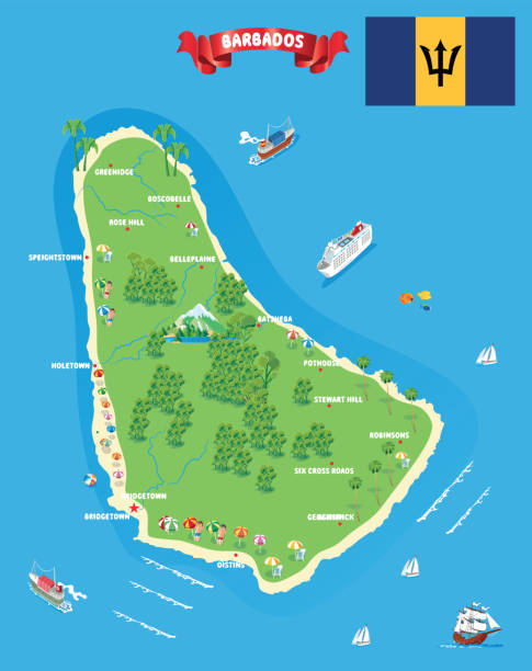
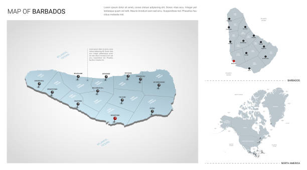
Detailed map of Barbados with surroundings, provinces, capital and flag.
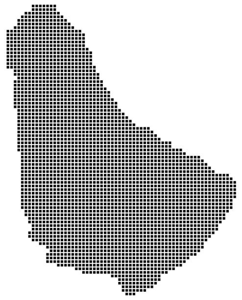
Barbados map square dotted style, vector illustration
Empty Blue Map of Central America
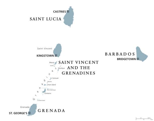
Barbados, Grenada, Saint Lucia, Saint Vincent and the Grenadines political map. Caribbean islands, part of Lesser Antilles and Windward Islands. Gray illustration over white. English labeling. Vector.

Map of Barbados in a realistic neon sign style. The map is created with a pink glowing neon light on a dark brick wall. Modern and trendy illustration with beautiful bright colors. Vector Illustration (EPS10, well layered and grouped). Easy to edit, manipulate, resize or colorize.
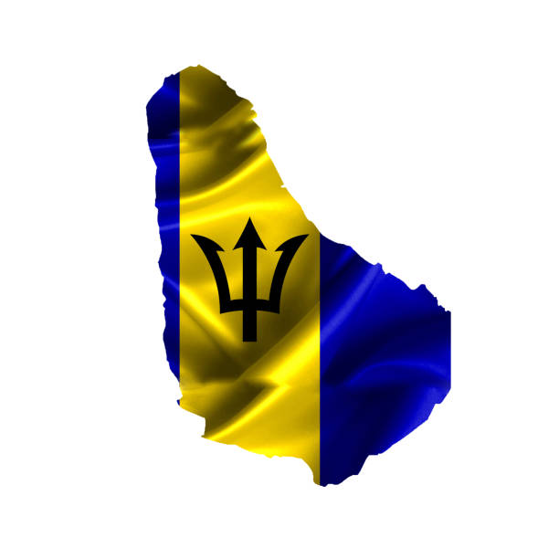
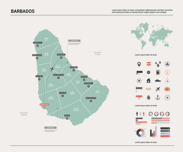
Barbados Map with National Flag and Geographical Borders
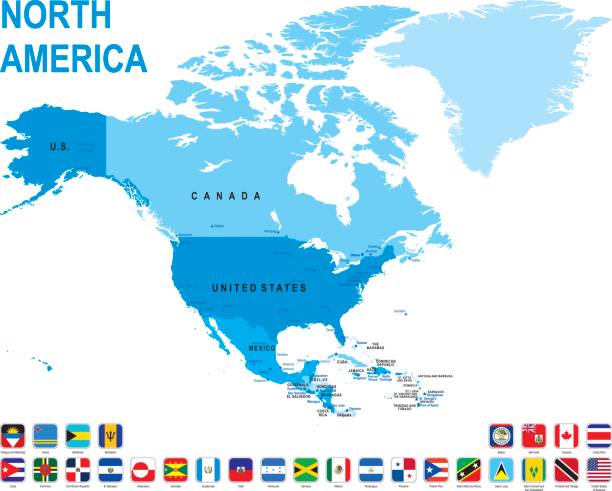
Blue map of North America with flag against white background. The url of the reference to political map is: http://www.lib.utexas.edu/maps/world_maps/united_states_foreign_service_posts-september_2011.pdf
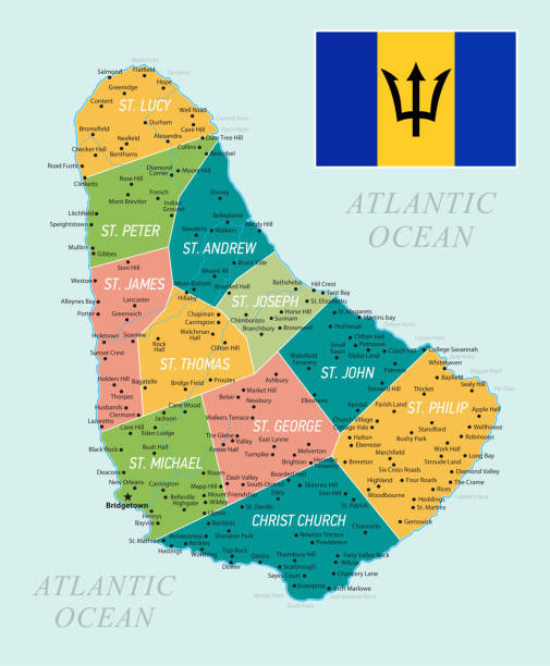
Barbados Map with National Flag and Geographical Borders

Barbados administrative and political vector map with flag.
Map of the Caribbean. highly detailed vector illustration.
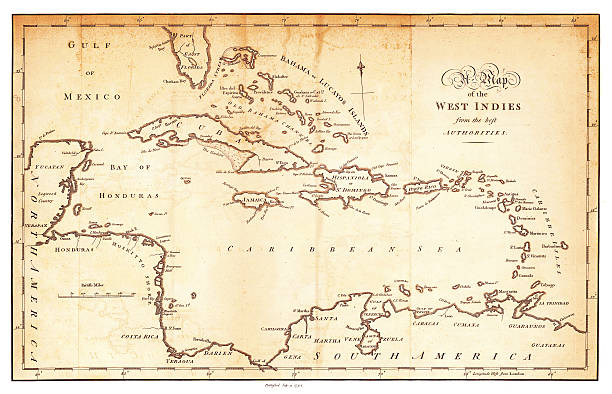
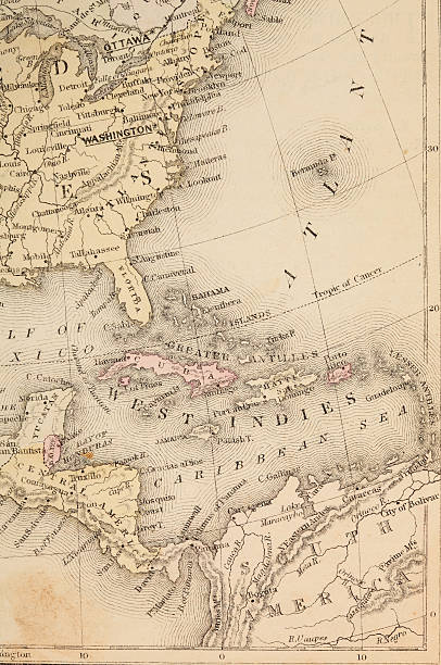
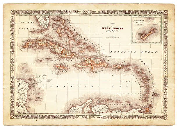
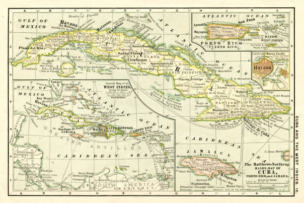
an old map of the West Indies form 1794
Bahamas Map with National Bahamian Flag and geographical borders
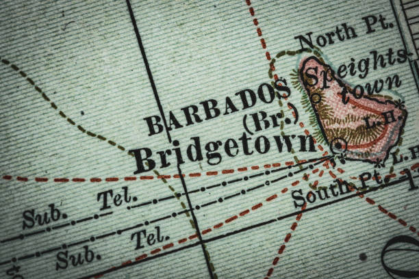
Close up of original vintage map of Barbados in the Lesser Antilles. Old style cartography and drawing of the terrain relief. Map is from "The Century Atlas - Porto Rico and Lesser Antilles" expired copyright originally dated 1897 and 1902 by the Century Company. Original map is public domain. As of 2019, copyright has expired for all works published in the United States before 1924. Picture was taken of an owned copy of the original atlas.

Map from the Complete Handy Atlas of the World - 1898
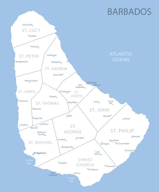
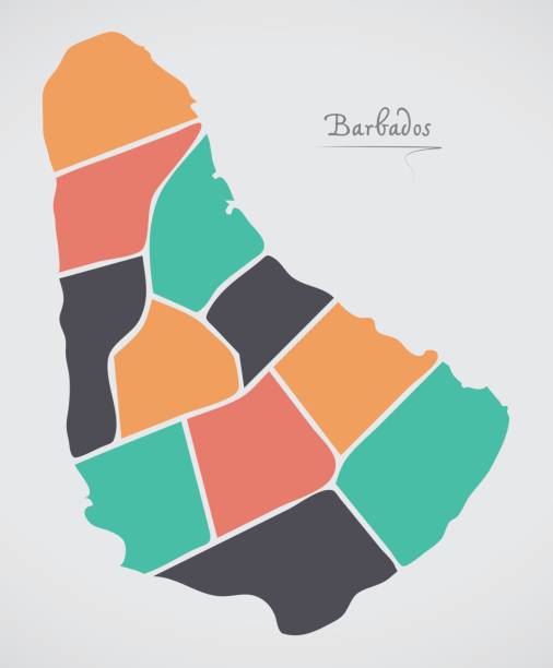
Blue-gray detailed map of Barbados administrative divisions and location on the globe. Vector illustration
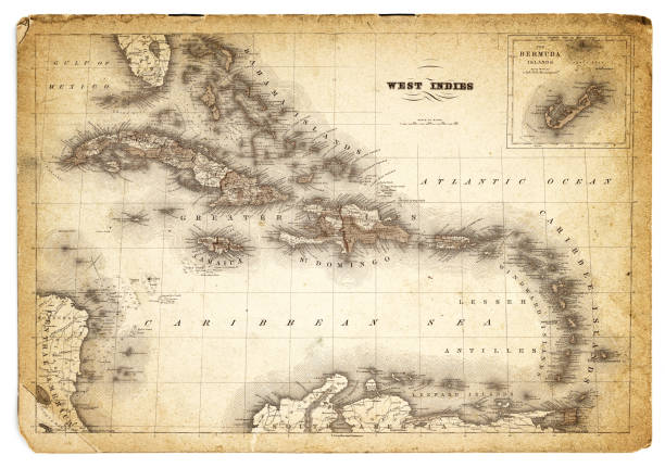
an old map of the West Indies from 1803
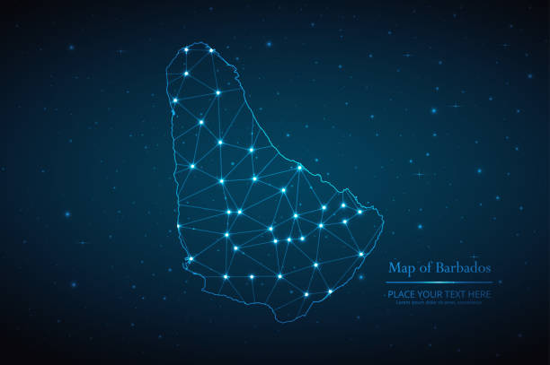
Abstract map of Barbados geometric mesh polygonal network line, structure and point scales on dark background. Vector illustration eps 10.
Central America and the Caribbean map. Vector
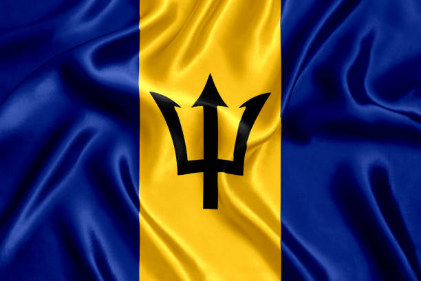
Flag of Barbados.
Glossy, Shiny Sphere with Global Map in Subtle Blues giving a transparent feel.
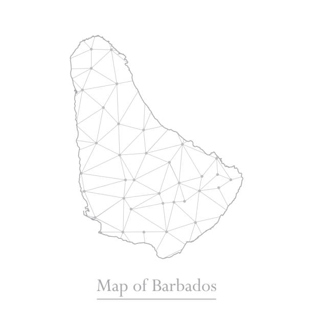
Vector map of Barbados with trendy triangles design polygonal abstract. Vector illustration eps 10.
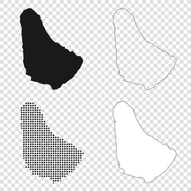
Map of Barbados for your own design. With space for your text and your background. Four maps included in the bundle: - One black map. - One blank map with only a thin black outline (in a line art style). - One mosaic map. - One white map with a thin black outline. The 4 maps are isolated on a blank background (for easy change background or texture).The layers are named to facilitate your customization. Vector Illustration (EPS10, well layered and grouped). Easy to edit, manipulate, resize or colorize.