This copy is copyright protected.
Copyright © 2024 Geographicus Rare Antique Maps
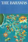
1990 Government of the Bahamas Pictorial Map of the Bahamas
Bahamas-government-1990


Copyright © 2024 Geographicus Rare Antique Maps | Geographicus Rare Antique Maps
This copy is copyright protected.
Copyright © 2024 Geographicus Rare Antique Maps