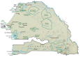
Senegal Map – Cities and Roads
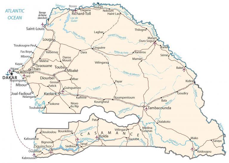
This map of Senegal contains cities, towns, highways, roads, and regions. Satellite imagery and a physical map display Senegal’s deserts, savanna, and topography.
Senegal map collection
You are free to use our Senegal map for educational and commercial uses. Attribution is required. How to attribute?
About the map
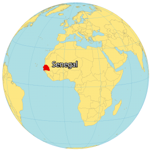
Senegal is the westernmost country in mainland Africa. It’s situated beside the Atlantic Ocean on the west coast. Senegal borders Mauritania to the north, Mali to the east, Guinea to the southeast, and Guinea-Bissau to the southwest.
Also, it completely surrounds the country of The Gambia, which is basically a 20 to 30-mile buffer along the Gambia River. Senegal also shares a maritime border with Cape Verde, which is about 600 kilometers (373 mi) off the west coast of Senegal, Africa. Dakar is the capital and largest city of Senegal.
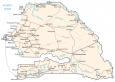
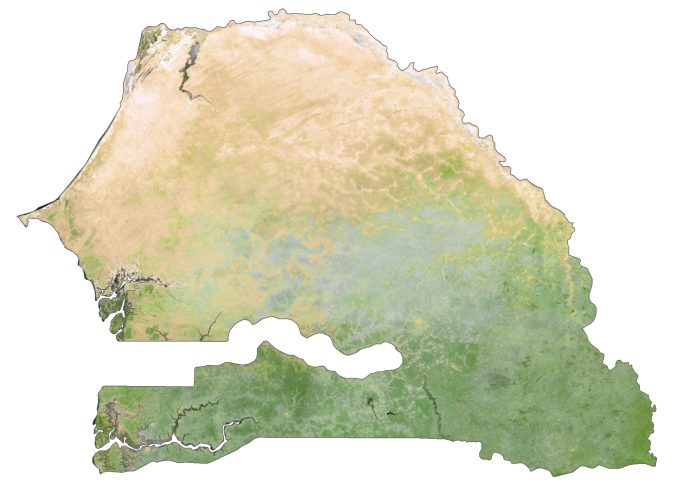
SATELLITE IMAGERY
Senegal Satellite Map
Senegal is situated beside the Atlantic Ocean on the west coast. It borders Mauritania to the north, Mali to the east, Guinea to the southeast, and Guinea-Bissau to the southwest. Also, it completely surrounds the country of The Gambia, which is basically a 20 to 30-mile buffer along the Gambia River.
Senegal is the westernmost country in mainland Africa. It also shares a maritime border with Cape Verde, which is about 600 kilometers (373 mi) off the west coast of Senegal, Africa. Dakar is the capital and largest city of Senegal.
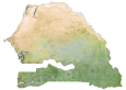
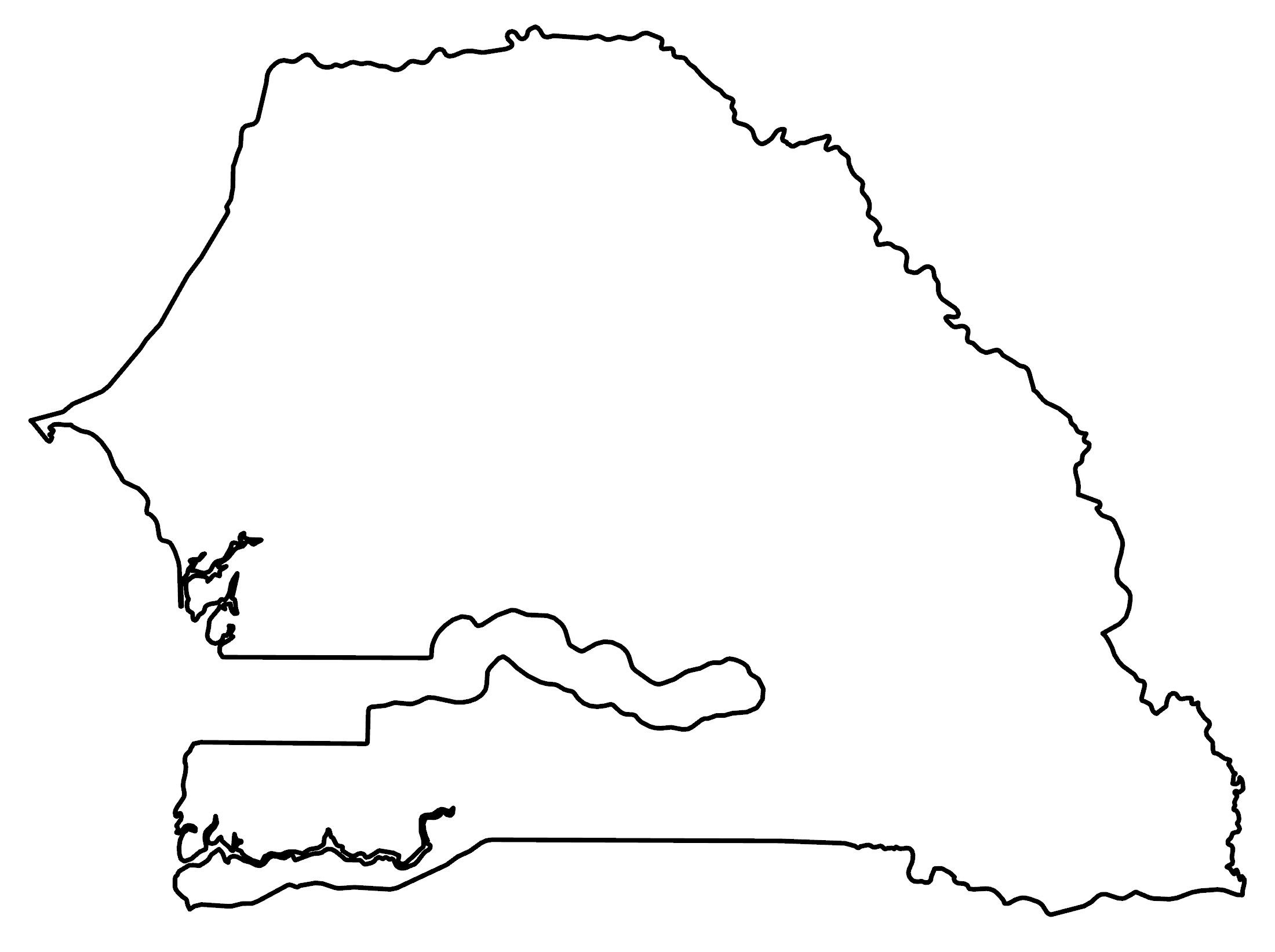
PHYSICAL MAP
Senegal Physical Map
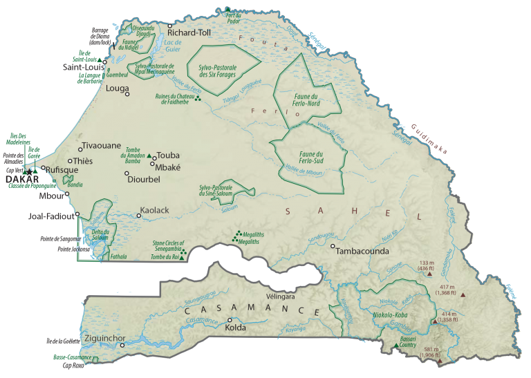
Senegal has generally low-lying terrain without any major mountain chains. In the southeast, Senegal has a mix of plains and rising foothills from the Fouta Djallon highland region. At 648 meters (2,126 ft), an unnamed ridge near Nepen Diakha at the border of Guinea is Senegal’s highest peak.
Senegal’s largest lake is the artificial Guiers Lake. Another prominent region is Casamance, which is an area south of The Gambia including the Casamance River. Casamance is recognized for its rainfall and lush tropical landscape.
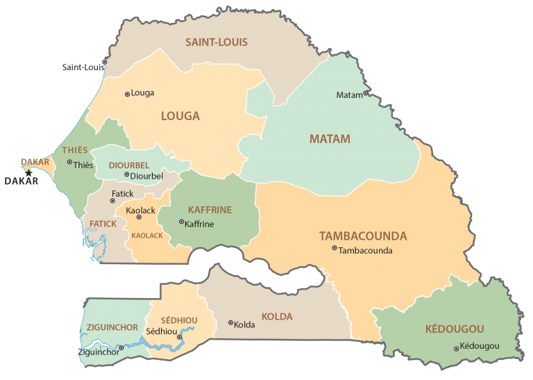
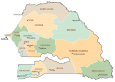
POLITICAL MAP
Senegal Regional Map
Regions are the first-level administrative unit in Senegal. Currently, there are 14 regions in Senegal. Then, regions in Senegal are divided into 45 departments, which are the second-level administrative unit.