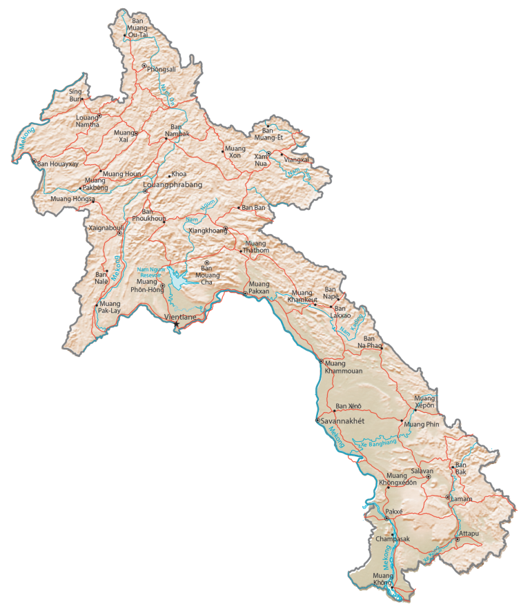
Laos Map – Cities and Roads
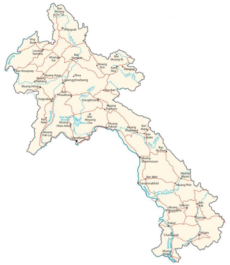
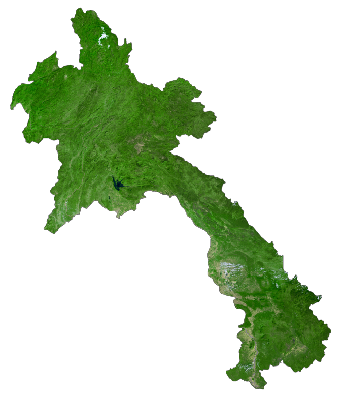
This map of Laos features its major cities, towns, roads, lakes, and rivers. Satellite imagery and an elevation map reveal its mountains, plains, and the twelfth-longest river in the world, the Mekong River.
Laos map collection

You are free to use our Laos map for educational and commercial uses. Attribution is required. How to attribute?
About the map
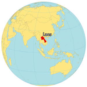
Laos is a landlocked country located in Southeastern Asia. Although it’s near the South China Sea, it has no coastline to the east.
It’s a landlocked country situated northeast of Thailand, west of Vietnam, north of Cambodia, and south of China and Burma. Vientiane is the capital and largest city. Otherwise, Pakse, Thakhek, and Savannakhet are its next largest cities.
The topography of Laos is mountainous, with the Annamite mountains running through the country. The Mekong River flows through the country from north to south.
SATELLITE IMAGERY
Laos Satellite Map
Laos occupies an area of 237,955 square kilometers (91,875 sq mi), which makes it slightly larger than Cambodia. It’s part of the Indochina Peninsula with Cambodia, Thailand, Vietnam, and Myanmar.
The twelfth longest river in the world, the Mekong River, flows southward through Laos which eventually empties into the South China Sea. Also, this river forms a partial boundary with Thailand to the west. The amount of forest cover varies significantly by the source. But a significant area of Laos is forested in the wide range between 40-78%.
PHYSICAL MAP
Laos Physical Map
The terrain in Laos is mostly rugged mountains. For example, the Annamese Cordillera and Highlands lie to the east. Whereas the Xiangkhoang Plateau is in the north-central region. But it also has some large swaths of plains and plateaus. Its highest point is Phu Bia, part of the Annamese Cordillera. This mountain peak stands 2,817 meters (9,242 ft) in height. Whereas the lowest point in Laos is the Mekong River at 70 meters above sea level.